About Matale
Discover the rich history, diverse geography, and vibrant culture of one of Sri Lanka's most captivating districts.
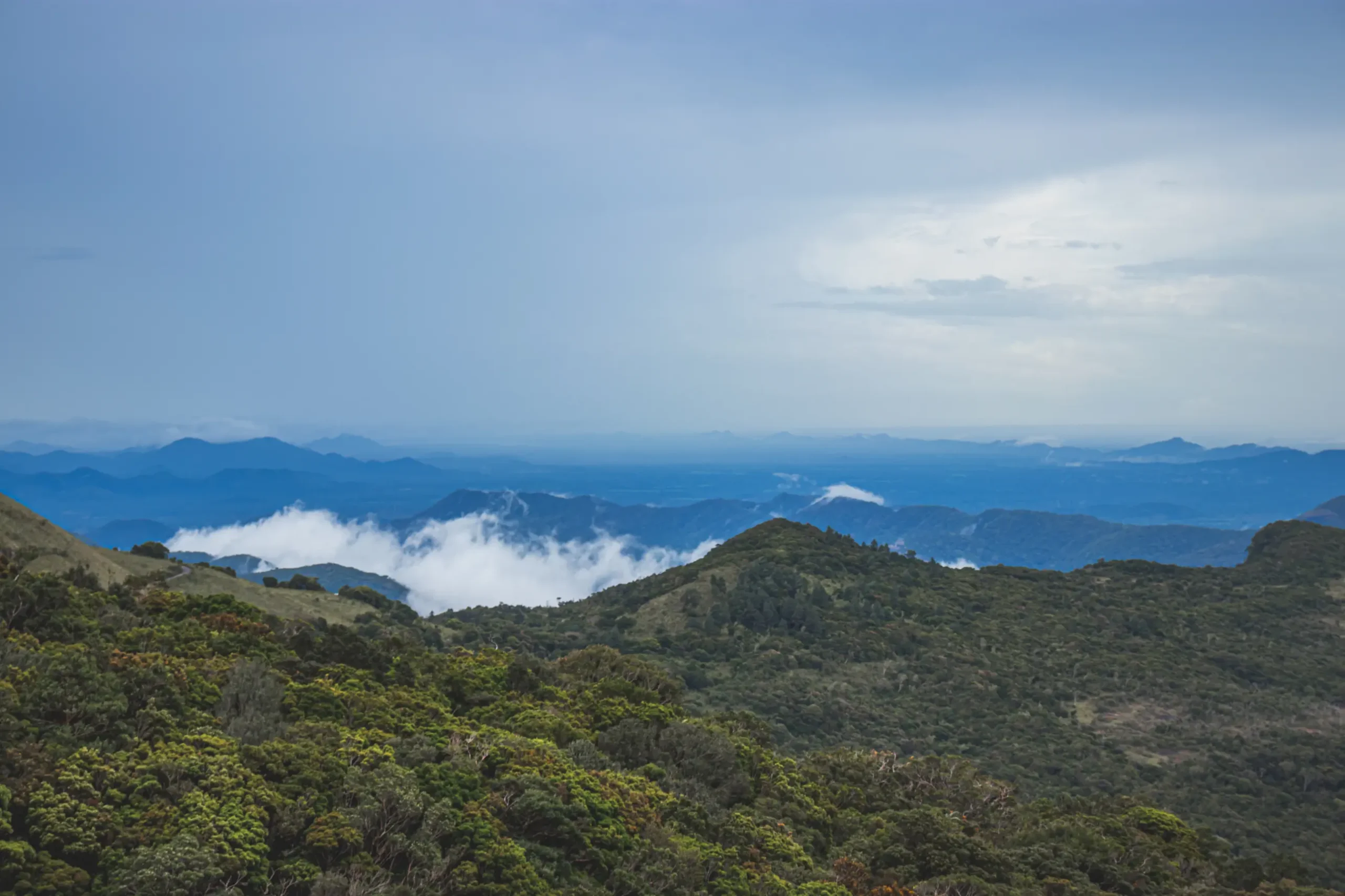
Where Three Climatic Zones Meet
Located in the heart of Sri Lanka, Matale District is the northernmost district of the Central Province. Covering 1,993 square kilometers, it stretches from lowland plains to misty mountain peaks.
What makes Matale truly unique is that it sits at the convergence of Sri Lanka’s three climatic zones — wet, dry, and intermediate — creating an extraordinary tapestry of landscapes.
Home to three UNESCO World Heritage Sites — Sigiriya Rock Fortress, Dambulla Cave Temple, and the Knuckles Mountain Range — the district offers a perfect blend of history, nature, and adventure.
Quick Facts
1,993 km²
Area
~484,500
Population
364m – 1,863m
Elevation
Central
Province
3
UNESCO Sites
63%
Forest Cover
A Land of Contrasts
Matale’s terrain varies dramatically from the flat, arid lowlands in the north near Dambulla to the rugged, mist-covered peaks of the Knuckles Mountain Range in the east.
The district is drained by several rivers including the Amban Ganga, and its fertile valleys support rice paddies, spice plantations, and vegetable cultivation.
With 63% forest cover, Matale harbors four distinct forest types — Montane, Sub-Montane, Lowland Rain, and Moist Monsoon Forests.
A Tapestry of Traditions
Matale’s cultural diversity is reflected in its temples, festivals, crafts, and cuisine.
Religious Harmony
Spice Legacy
Buddhist temples, Hindu kovils, Christian churches, and mosques — all coexisting in harmony.